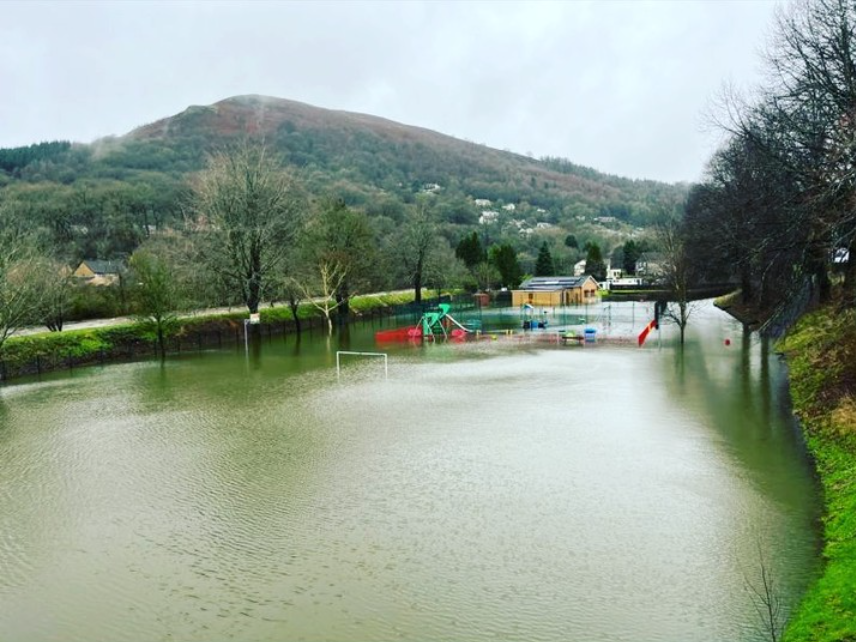
The British Geological Survey recently shared the BGS Groundwater Flooding Susceptibility complementary dataset which shows the areas across the UK which are most likely to be harmed by groundwater flooding “based on geological and hydrogeological conditions at a 50m resolution”.
With recent heavy rainfall in the UK, areas will be at even more at risk of being affected by flooding. Groundwater flood risk is heightened too and datasets such as the recent BGS dataset shared could help plan for the future. The recent BGS article explains that “the mechanics of groundwater flooding also result in flood water lingering for longer”.
The dataset offers many benefits for a variety of data users from “informing climate reports” to “desk-based scoping studies”. More examples of existing data users applying the data is shared in BGS recent article. To read the full article from BGS, visit https://www.bgs.ac.uk/news/mitigrating-groundwater-flooding-susceptibility/